Affiliate links on Android Authority may earn us a commission. Learn more.
Google Maps and Google Earth now have insanely high res satellite imagery

When it comes to technology, bigger numbers are typically better – from battery capacity, pixel density, RAM and so on – but the same is also true of satellites (I guess). Google has just announced it has upgraded its satellite imagery from the Landsat 7 satellite to, you guessed it, the Landsat 8. But it’s not just a shiny new satellite imagery we’re getting either, cos Google also has an all-new image processing technique too.

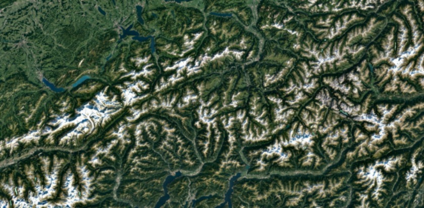
This is great news for every single one of us that uses either Google Maps or Google Earth every single day. It means that, as of right now, we’ll be able to enjoy an “even more beautiful and seamless version” of the Earth mosaic that has obliterated cloud cover even further.
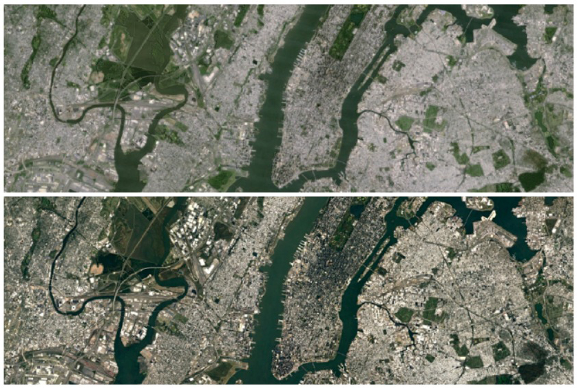
As Google mentions in its announcement post: “Satellite images are often cloudy, but not always over the same place, so we looked at millions of images and took the clearest pixels to stitch together this cloud-free and seamless image.” The images speak for themselves.

Just how clear are they? Well, when the Landsat 8 satellite launched in 2013, Google was just about to update its Landsat 7 imagery (remember those stripe artefacts?). At that time the new resolution was one pixel for every 15 meters. While Google isn’t currently mentioning the new meters-to-pixel ratio, the massive increase in clarity is clear to see.
To achieve this result, Google trawled through almost a petabyte of data: that’s more than 700 trillion pixels of imagery. As Google notes, that’s 7,000 times more pixels than there are stars in the Milky Way and about 70 times more pixels than there are galaxies in the universe.
To take a look for yourself, just open up Google Earth or Google Maps and turn on the satellite layer.
What do you think of the latest imagery? Just how detailed do you think the next update will be?