Affiliate links on Android Authority may earn us a commission. Learn more.
Google Maps gets a new look, adds Wi-Fi only mode, areas of interest and mass transit delays

The Google Maps team has clearly been hard at work this week, rolling out a slew of new features. We’re seeing a cleaner look in Maps generally, making streets easier to see and read. But there’s plenty of new features too, including areas of interest, mass transit delay information and the addition of Wi-Fi only Mode.

New look
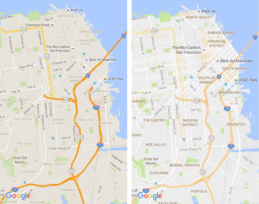
In a blog post, the Maps team outline the new visual changes in Google Maps. They have removed unnecessary stuff like the black outline of streets and added new typography and color schemes, all so the essential information is conveyed more quickly and clearly. Overall, maps look a lot lighter with much easier to read information and there’s a fancy new color wheel for color-coded locations. Here’s a before and after comparison.

Areas of interest
Thanks to the generally lighter color scheme going on, Google Maps can now highlight areas of interest in a light orange. Sections of a map worth visiting will appear shaded orange and you can zoom in and tap individual locations for further information just like you always could. It provides you a nice overview of the areas worth checking out in your city (if you don’t see any your city probably just sucks). Here’s how it works:
We determine “areas of interest” with an algorithmic process that allows us to highlight the areas with the highest concentration of restaurants, bars and shops. In high-density areas like NYC, we use a human touch to make sure we’re showing the most active areas.
Wi-Fi only mode
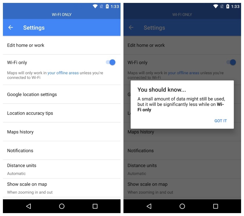
Wi-Fi only mode is also appearing for some users, allowing you to flip a switch so that Google Maps only work when connected to Wi-Fi (unless you have areas saved for offline viewing). Offline areas now appear as a sub-section in Wi-Fi only mode, where you can still access the same settings as before. You’ll see a blue bar across the top of maps to indicate Wi-Fi only is activated and you’ll be warned that Google Maps may still use a little data even when Wi-Fi only mode is enabled.

Mass transit delays
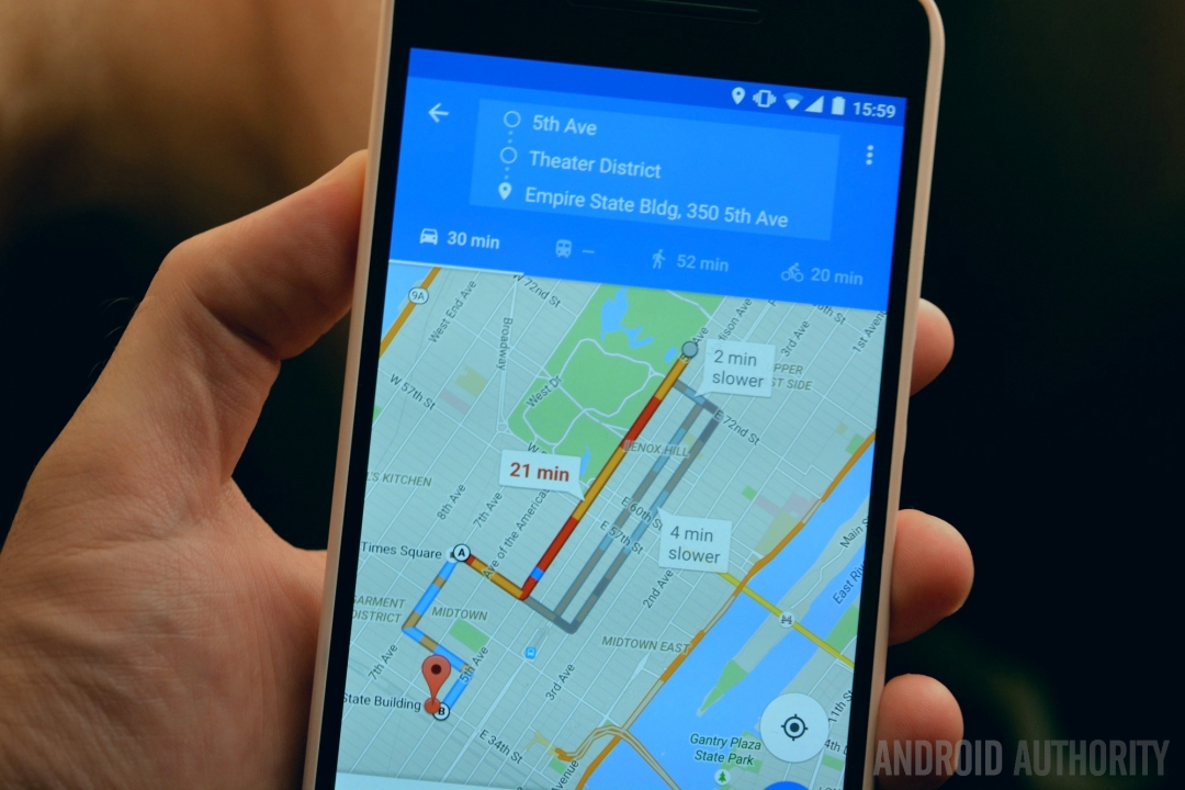
Another feature rolling out to some users is notifications for mass transit delays. If you’ve got the feature, you can flip a switch to enable real-time disruption alerts in Google Maps’ customize notifications settings. According to Android Police though, the feature is a little finicky right now and seems to be limited to a very small test pool. If you’ve got it or have found anything else new in Google Maps recently let us know in the comments below.
Do you have these features yet? What is the one big thing missing from Google Maps?