Affiliate links on Android Authority may earn us a commission. Learn more.
Google Maps' new Visual Positioning System fixes navigation
Published onMay 8, 2018

Google announced many new software treats at Google I/O today. Aparna Chennapragada introduced one of the best new features: visual guidance and Visual Positioning System in Google Maps Navigation.
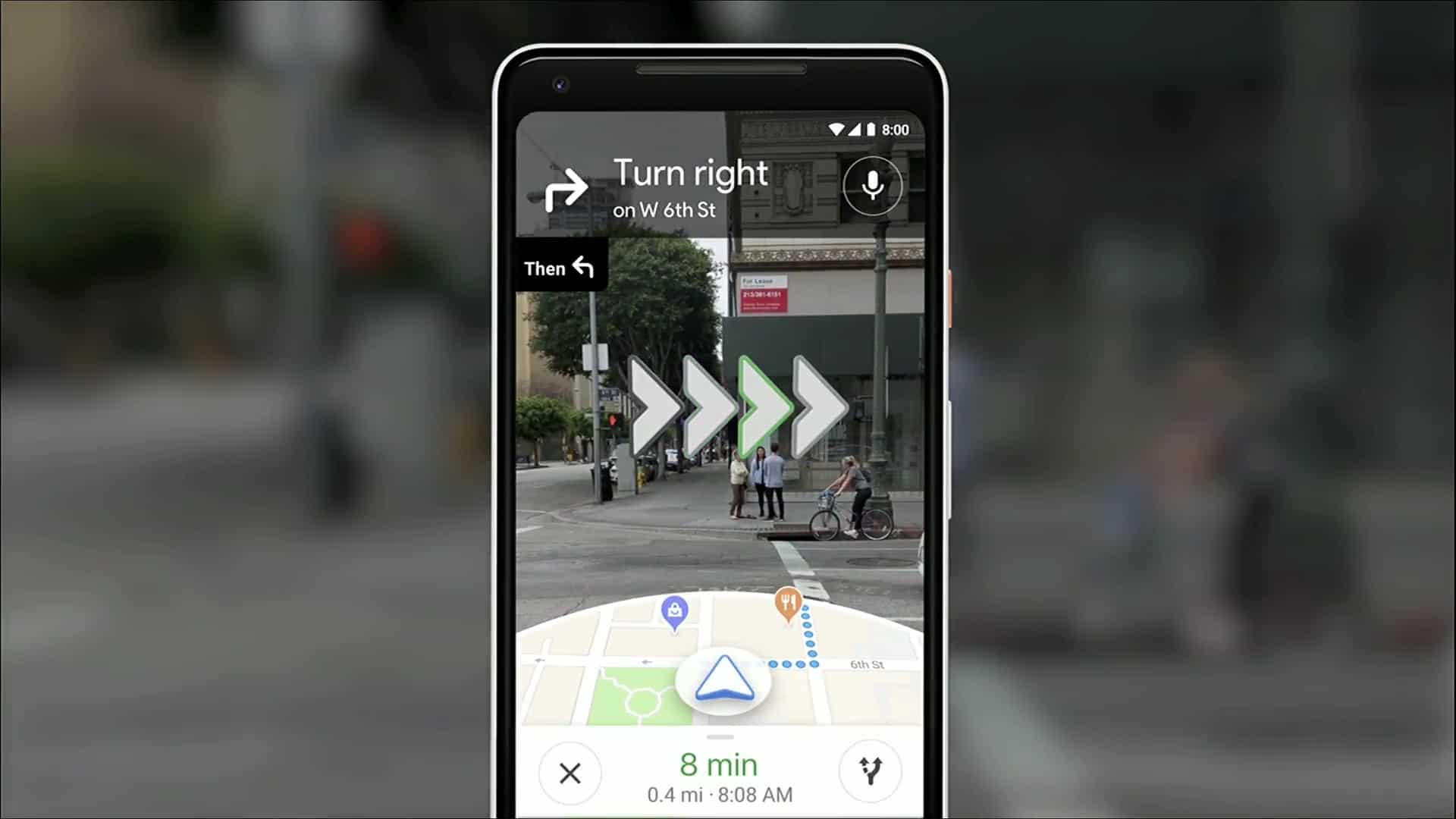
We’ve all had been delayed figuring out Google Maps Navigation before — “am I going the right direction?” Google Maps can now use your camera to identify your surroundings, visually communicate your route right in front of your eyes!
Visual navigation

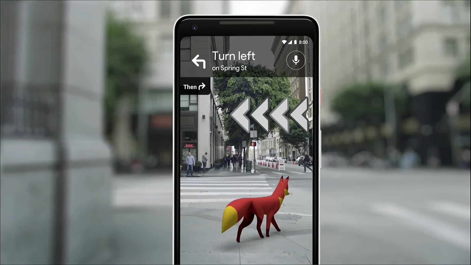
Tap a button to activate visual view and then just point your camera where you need to go to see relevant info. You will see your surroundings with an overlay of Maps information for nearby business, arrows pointing you in the direction you need to go, with a small map at the bottom to remind you where you are headed. This is a powerful addition to Google Maps and Street View.
Google’s even playing with the idea of putting a character on the screen as an augmented reality tour guide. In the demo, it was a little fox.
Visual Positioning System – VPS

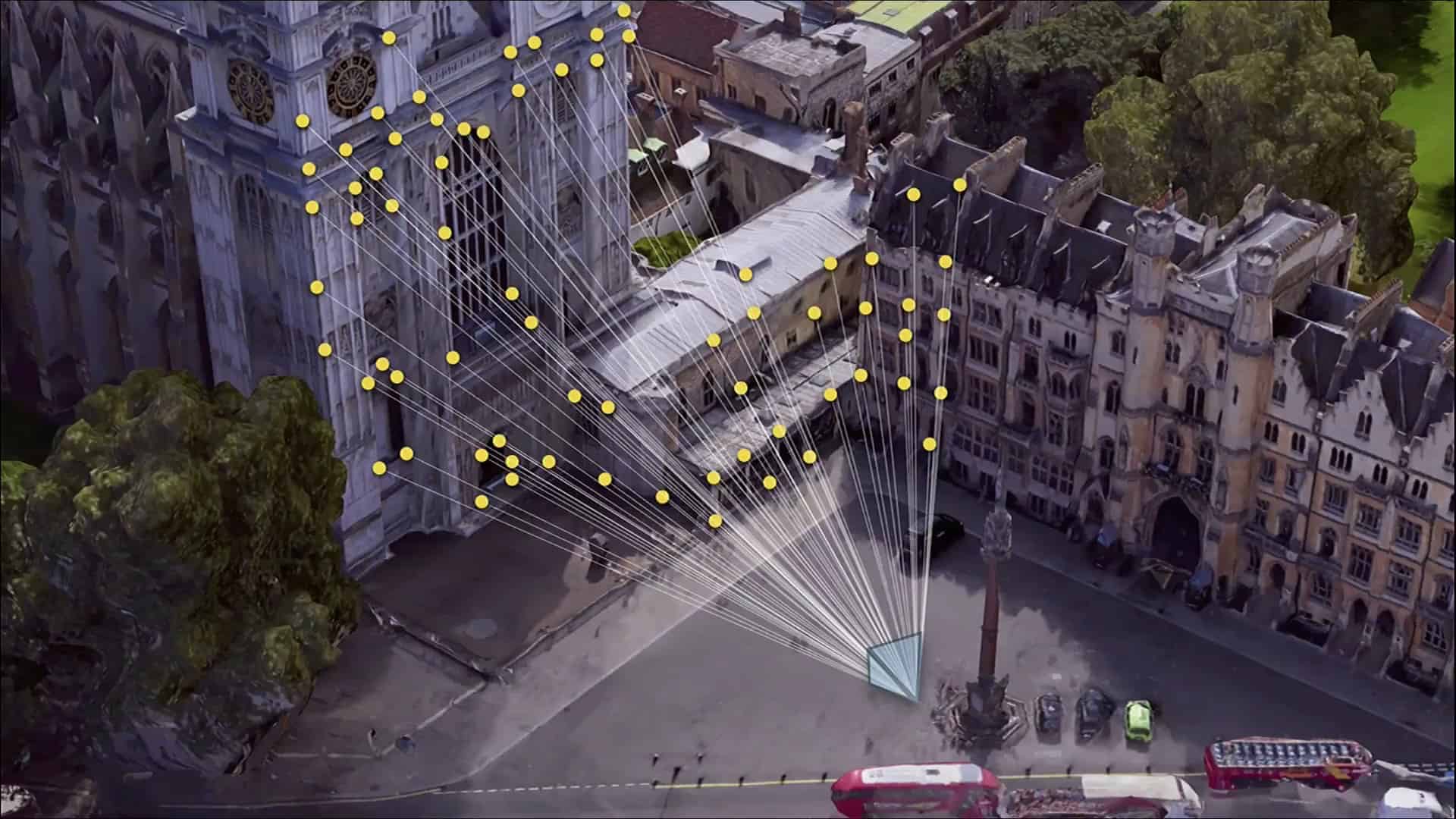
When your GPS is not enough, the new visual system in Google Maps can also use the newly coined Visual Positioning System (VPS) feature. The VPS uses your phone’s camera and Google’s extensive back-end data to analyze your surroundings to identify where you are with greater accuracy.
A few members of our team members are already cheering about this. They live in densely populated urban areas with tall buildings and often complain of GPS drift and other hassles when navigating. The new visual systems are made just for people like them.
Sadly, Google did not mention when these new Maps features would become available. We will be sure to update when we learn more.