Affiliate links on Android Authority may earn us a commission. Learn more.
New Nat & Friends video explains how Google Earth actually works
The latest Nat & Friends video explores just how 3D images are created for Google Earth, but unfortunately, Lo will be officially leaving the project.

If you are curious about what goes on inside Google or if you just live on YouTube like me, you’ve probably heard a thing or two about Nat and Lo. Nat and Lo both work at Google, and since 2015, they’ve been making videos under what they call the 20% Project: at Google, employees are allowed to spend part of their time working on something that they came up with, and Nat and Lo decided to go behind the scenes of interesting projects at the company.
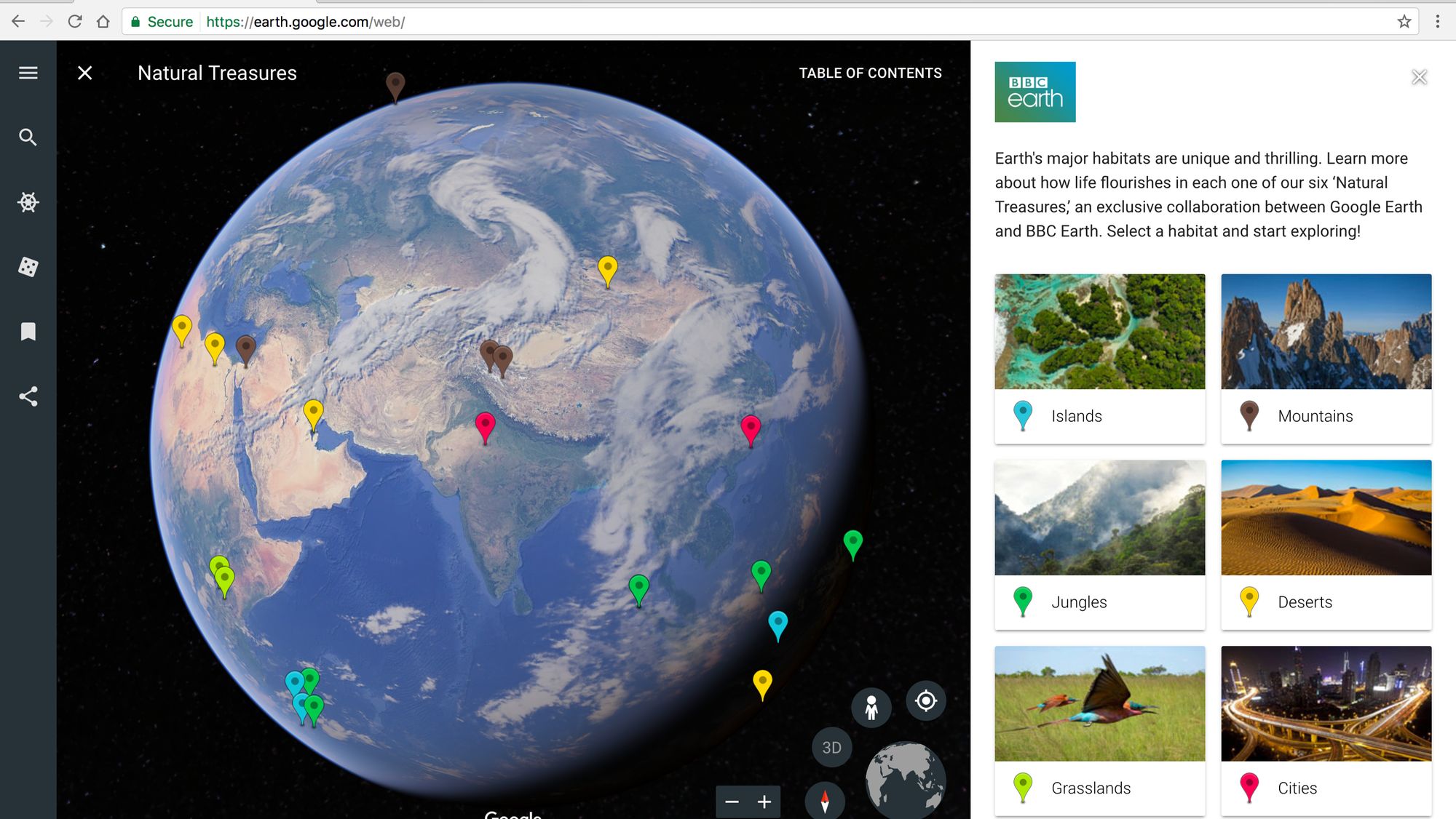
Well, the latest video is all about Google Earth. As Nat explains, it was almost 50 years ago that we saw the first ever photo of the planet that we live in from the outer space. Today, we can access not only that but every nook and cranny of this amazing planet right on our computer, thanks to Google’s 3D images on Google Earth. Now, Google Earth is about to see some important changes, so it’s only fitting that we learn more about just how Google creates these breathtakingly accurate models of the world.
To sum it up without spoiling the whole video for you, Google Earth actually relies on photos taken on a plane rather than satellite images.
To sum it up without spoiling the whole video for you, Google Earth actually relies on photos taken on a plane rather than satellite images. Google employees fly an airplane and essentially go zig-zag over an area, through which various advanced sensors create overlapping images to capture the landscapes and create the clearest and the most accurate 3D model. If you want to find out more about this incredible process, you can watch the video above.
As you may have noticed, the latest video is actually called Nat & Friends, not Nat & Lo. That’s because Lo will no longer be a co-host for the video series; however, she does make her first cameo in this episode.
What do you think? It’s pretty cool how Google Earth creates its 3D models, eh?