Affiliate links on Android Authority may earn us a commission. Learn more.
Strava's new heatmaps have completely changed my running safety
December 11, 2024

Depending on who you ask, some people will tell you they hate running in the winter, not because of the cold — most runners I know prefer freezing temperatures to boiling heat — but because it’s dark outside by dinnertime. It just doesn’t always feel safe when relying on reflective clothing and attentive drivers to protect yourself. If only there were a convenient, often-updated way to see where running at night is usually safe.
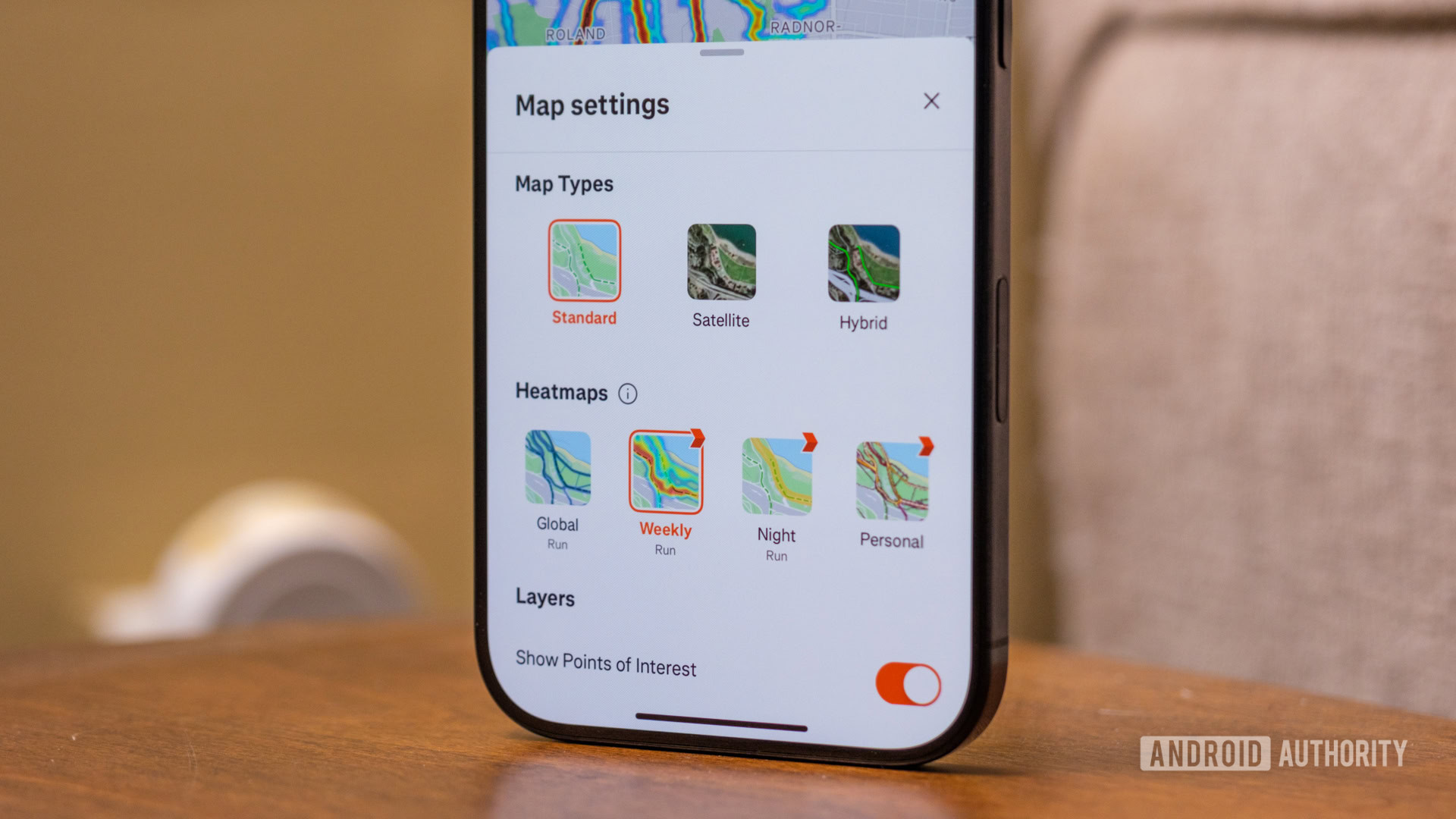
Oh, right, there is — Strava finally added it. It’s rolled out two new heatmaps for members — one for night routes and one for the most heavily trafficked paths in a given week — making it much easier to keep my mileage up in the cold. Here’s how I’ve started using both maps in different ways.
Something different every week

Honestly, my biggest problem with winter running has nothing to do with the cold or the darkness — it’s that I often settle into too much of a routine. It’s so easy for me to get down to the promenade along Baltimore’s harbor that I hardly consider going anywhere else. And then, almost immediately, I get bored of running the same five or six miles several times a week.
With Strava’s new weekly heatmap, though, I feel like I’m more willing to explore. Unlike the standard heatmaps, which show you the most popular routes throughout the year, the weekly map can much better account for pop-up obstacles like construction sites and holiday markets. I’m happy to avoid the former while running through the latter about as many times as I can until I’m tired of Christmas music for another season.
Strava's weekly heatmap keeps me out of construction sites and lets me know when there's something festive to run past.
Realistically, I’d have to guess that Strava designed its weekly heatmap more with the former in mind than the latter, too. Whether you’re new to a city or have been in one for a while, there’s no way to predict exactly where construction will pop up from one week or month to the next, no matter how hard you try. So, if you go to the global heatmap expecting to be able to run along the promenade without interruption, you’ll be in for a rough time.
In fact, a few spots along the harbor have been under construction for as long as I’ve lived in Baltimore. According to the main heatmap, though, they’re still heavily trafficked. Thankfully, the weekly map shows them as empty spaces without much traffic, making it much easier to reroute rather than running up to the edge of construction and turning around.

I, of course, know about those spots at this point, but the weekly heatmap has shown its value in other ways, too. We’ve recently had a miserable mix of cold and rain that’s opened up a few sinkholes along the roads closest to my apartment. If I were relying on the global heatmap, I might have never noticed them while running, only to plunge right into one on my bike, giving myself a nice holiday repair bill. Thanks to the weekly map, though, I’ve been able to switch directions and keep my cross-training right on schedule.
Shifting into night mode

And then, there’s the night heatmap. As much as I’ve enjoyed the weekly updates for daytime adventures, I’ll admit that the nighttime guidance has been more valuable as the days have shortened. After all, it’s easy to watch for well-lit construction when it’s light out, but obstacles at night join a much longer list of hazards. Once you’re looking for dark streets, icy patches, dawn-to-dusk parks, and construction sites, you almost need a personal radar to keep everything straight.
In some ways, though, I guess that’s what the night heatmap has become. If a neighborhood is not all that safe or a park is well-marked as closed after dark, they’ll show up as dark on the map. For me, the map doesn’t change too much when I step out my front door — I can still run the ever-reliable promenade — but I’ve found that it’s much more helpful when traveling.
I know my hometown pretty well, but it's been a long time since I've run through it at night.
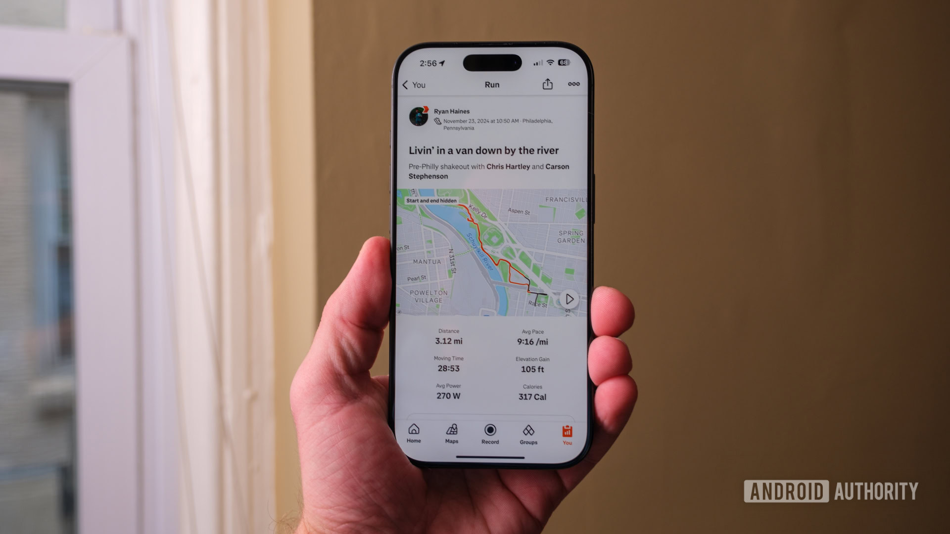
So far, I’ve turned to Strava’s night heatmap twice: Once when I needed to shake my legs out in Philadelphia ahead of the marathon and another time when trying to find safe rural roads to run on around my parents’ house at Thanksgiving. As it turns out, far more people run in Philadelphia after dark than in my hometown — who would have guessed? Either way, I was able to find some semblance of a safe passage to get my miles in and enjoy my peace and quiet.
That gap in data made me realize something, though — your running routes are only as reliable as the athletes around you. So, if you head home to a town where more people can run during the day, you might be just as safe at nighttime but not know it because the data simply isn’t there. I have to hope that as winter rolls on and more runs fall between sunset and sunrise, the map itself will get better, but only time (and more runs) will tell.
Do you use Strava's heatmaps?
Thank you for being part of our community. Read our Comment Policy before posting.